449,00 €Original price was: 449,00 €.393,24 €Current price is: 393,24 €.(Save 55,76 €)INTERVALS Club price380,15 €(Save an extra 13,09 €)Join and get the discount
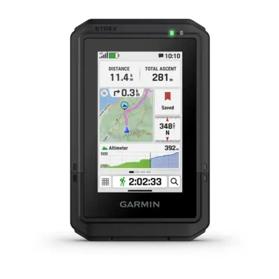
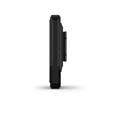
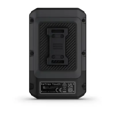
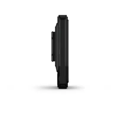
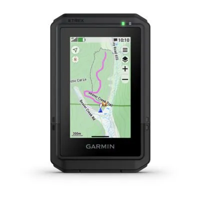
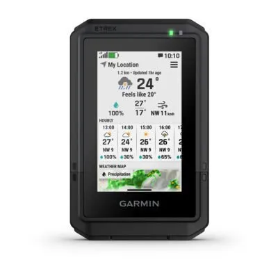
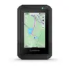
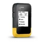
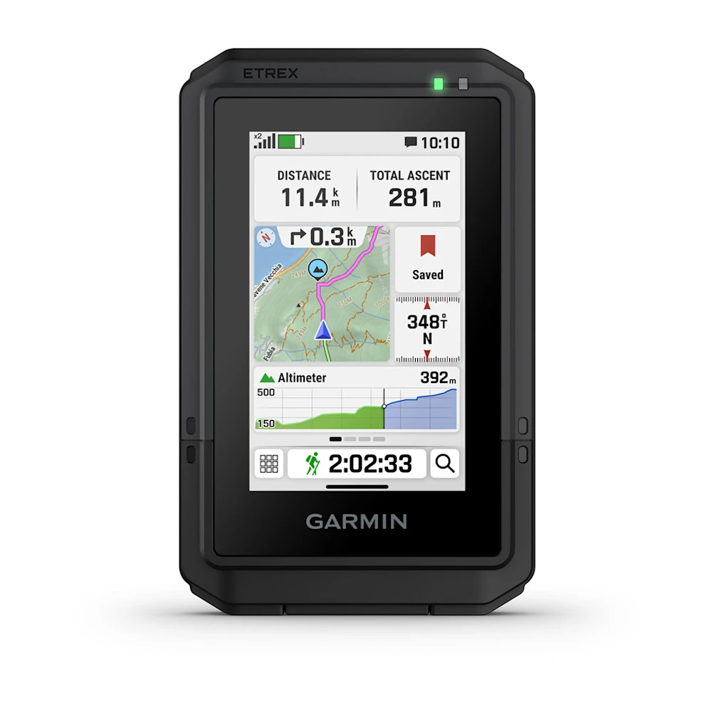
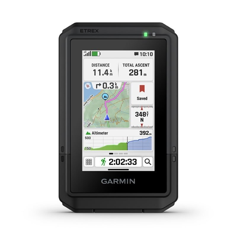
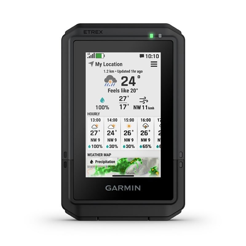
eTrex® Touch is a rugged, easy-to-use GPS handheld navigator with color touchscreen, preloaded maps for trails and roads and a long battery life.
This essential, simple-to-use touchscreen GPS handheld offers preloaded TopoActive maps with routable trails and roads for your outdoor adventure. Plus, the durable design and long battery life help you enjoy all your activities even more.
KEY FEATURES
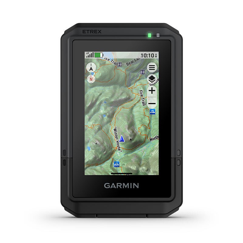
SWIPE AND ZOOM ON A BRIGHT 3″ TOUCHSCREEN
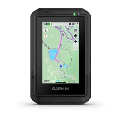
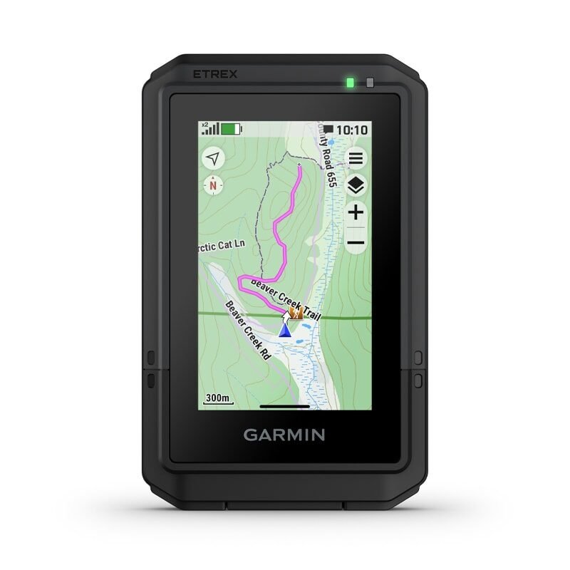
PRELOADED MAPS FOR ROADS AND TRAILS
LONG BATTERY LIFE OF UP TO 130 HOURS IN GPS MODE
PLAN AND REVIEW TRIPS WITH THE GARMIN EXPLORE™ SMARTPHONE APP
BUILT TOUGH (MIL-STD 810) AND WEATHER-RESISTANT (IP67)
OPTION TO PURCHASE AN OUTDOOR MAPS+ PLAN FOR PREMIUM MAPPING
WHAT YOU’LL LOVE
TOUCHSCREEN
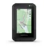
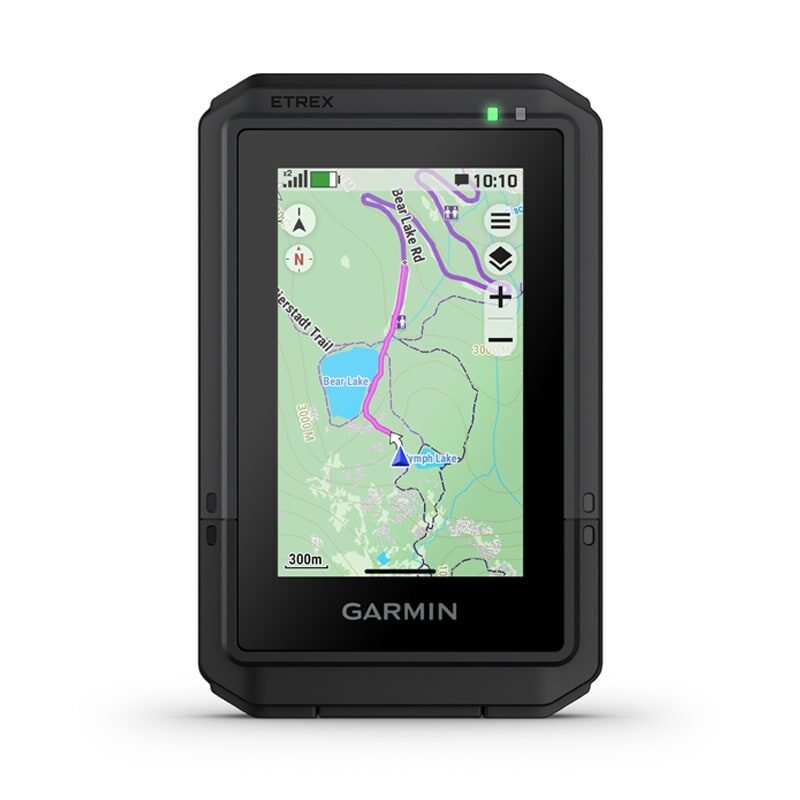
The slim, pocket-size handheld features a bright 3″ high-resolution colour touchscreen so you can easily swipe and zoom to follow your route.
RUGGED DESIGN
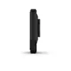
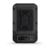
The eTrex Touch handheld is purpose-built with an IP67 water rating and impact-resistant (MIL-STD-810) design to withstand weather and rugged conditions.
PRELOADED MAPS
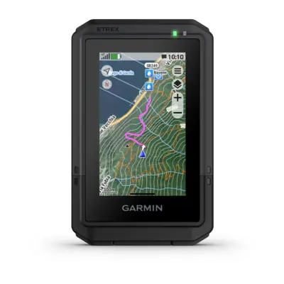
View detailed TopoActive maps for roads and trails, and see terrain contours, topographic elevations, summits, parks, rivers, lakes and geographical points plus thousands of points of interest. Plus, get easy access to additional TopoActive mapping around the globe.
OUTDOOR MAPS+
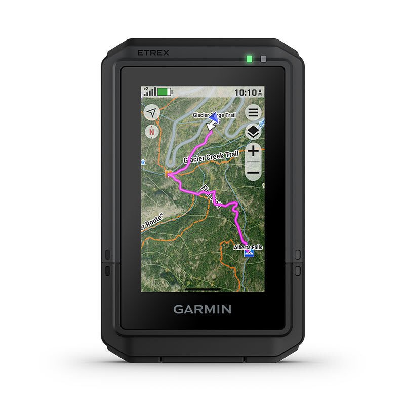
Purchase a subscription to Outdoor Maps+ for ongoing access to a wide variety of premium mapping content, including satellite imagery, campgrounds and more. Download and receive automatic updates via Wi-Fi® technology.
PLAN AND REVIEW YOUR TRIP
Connect with the Garmin Explore app to plan and review trip data on your smartphone or tablet and manage your waypoints, courses and activities.
WEATHER
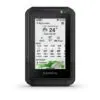
Get real-time forecast information so you are aware of the changing conditions. This feature requires an active internet or Wi-Fi connection, or use of the Garmin Explore app on your paired smartphone.
ADVENTURE FEATURES
BATTERY LIFE — Get long battery life up to 130 hours in all satellite systems plus multi-band mode, assuming typical use with SatIQ™ technology; and up to 650 hours in expedition mode.
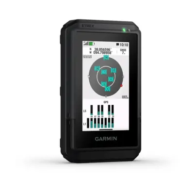
GPS ACCURACY — Know where you are with multi-band GPS and multi-GNSS support, which gives you access to multiple frequencies sent by navigation satellites for superior position accuracy.
FIND NEW DESTINATIONS — Popularity routing helps you navigate the best routes and rides. Round-trip routing allows you to enter a distance you want to travel for route suggestions that will bring you back to where you started.
ASCENT PLANNING — See upcoming climbs on your route, when they will occur and how steep they will be.
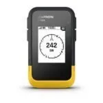
DIGITAL COMPASS — Follow your bearing on the digital compass, which provides an accurate heading even when stationary.
USB-C is a registered trademark of USB Implementers Forum.
General
Lens material
chemically strengthened glass
Physical size
66 mm x 105.4 mm x 24.6 mm (2.6″ x 4.15″ x 0.97″)
Svars
150 g (5.3 oz)
Ūdens iedarbība
IP67
Display type
3″ transflective colour TFT
Display size
3.88 cm x 6.48 cm (1.53” x 2.55”); 7.62 cm (3”) diag
Display resolution
240 x 400 pixels
Battery type
Rechargeable, internal lithium-ion
Battery life
All Satellite Systems + Multi-Band:
Memory
32 GB (user space varies based on included mapping)
Other information
Touchscreen
Yes
Interface
USB-C
Built-in mapping
Yes (TopoActive, routable)
Ability to add maps
Yes
Basemap
Yes
Map segments
Yes (15,000)
IRNSS
Yes
High-sensitivity receiver
Yes
GPS compass (while moving)
Yes
Weather
Yes
Ballistics solver
Yes (unlock required)
Dual grid coordinates
Yes
Night vision mode
Yes
Garmin Explore compatible
Yes
Highlights
Multi-band GPS
Yes
Sensors
GPS
Yes
GLONASS
Yes
Galileo
Yes
QZSS
Yes
BeiDou
Yes
Barometric altimeter
Yes
Compass
Yes
Connectivity and safety
Smart Notifications
Yes
Connectivity
Yes (Wi-Fi®, BLE, ANT®)
LiveTrack
Yes
Accessories available in our store that are compatible with this product.


Reviews
There are no reviews yet.